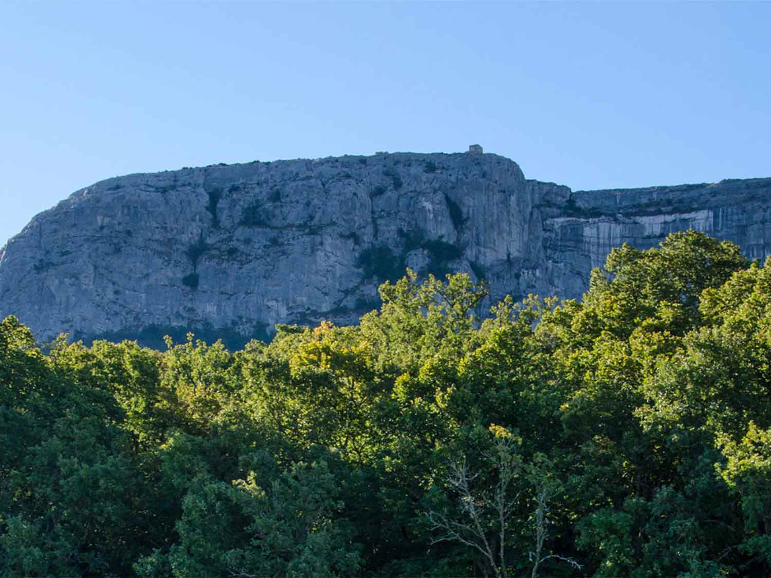
The Sainte Baume Massif
The Sainte Baume Massif rises between the departments of Bouches-du-Rhône and Var.
Its area is 45,000 hectares, 35 kilometers long and 15 km wide. Its highest points, the Joug de
l'Aigle and the signal des Beguines, both rise to 1148 meters, and its ridge stretches for a good
dozen kilometers.
The Cave of Sainte Marie Madeleine
The Sainte Baume is a limestone massif with a rugged relief, many narrow valleys,
and combs, covered by a forest of pines, beeches, and oaks. Many streams take their source in the
Sainte Baume and supply the region. Baume means cave in Provençal,
and there are many caves on the massif. Tradition says that Sainte Marie Madeleine lived in one of
them until her death, and the cave still welcomes pilgrims and visitors.
The Basilica of Saint-Maximin
Saint-Maximin-la-Sainte-Baume is located to the north of the massif. Its basilica is
remarkable and is said to house the relics of Sainte-Marie-Madeleine. Many villages scatter across
the territory of the Sainte Baume: Plan d'Aups, Roquevaire, Riboux, Auriol, Cuges-les-Pins,
Nans-les-Pins, Signes, Saint-Zacharie, Gémnos.